
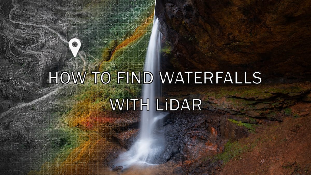
How to Find Waterfalls Using LiDAR
I'm a huge fan of using LiDAR mapping for locating new waterfalls to photograph. I get a lot of questions about how to do this, so in this post, I'll teach you all of the basics you need to get started.
I cannot overstate how big a fan I am of using LiDAR data for locating new waterfalls. I even mentioned it a bit in a previous post about resources for waterfall hunters in Kentucky. Understanding how to use LiDAR maps is like a superpower for planning your backcountry adventures and, as we will see here, for finding new waterfalls.
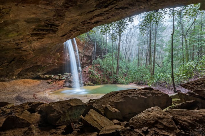
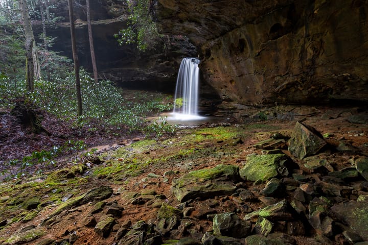
I often get a lot of questions about how to do this, so in this post, I'm going to show you everything you need to know to get started using LiDAR mapping for locating waterfalls. I'll show you examples of how to read the maps, and I'll finish off by showing you, in detail, how I used these techniques to find two off-trail waterfalls in the Red River Gorge.
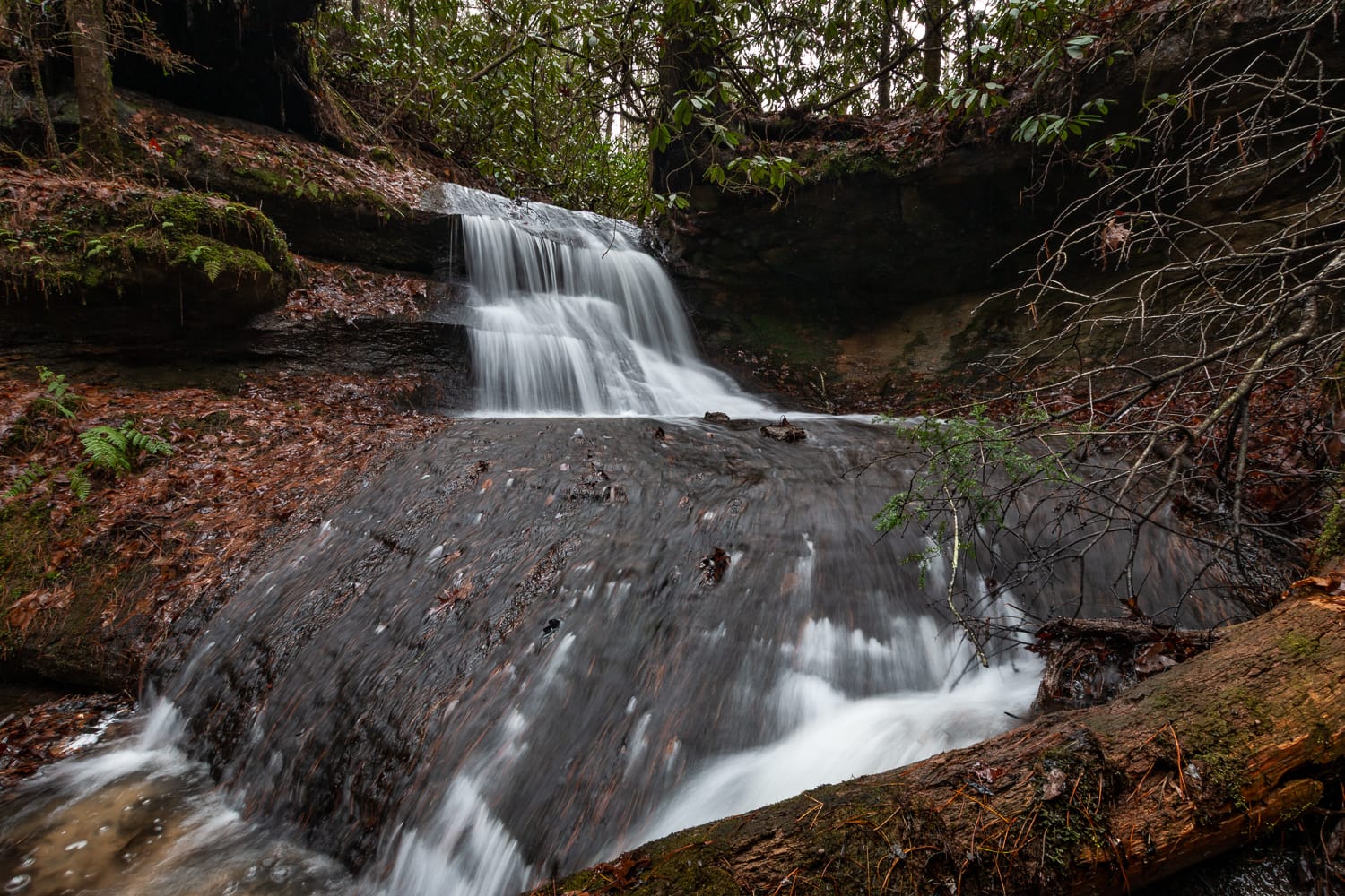
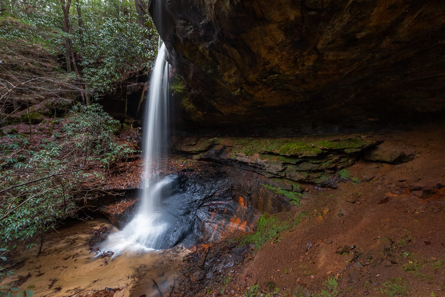
I'll show you exactly how I used LiDAR to locate these two off-trail waterfalls in Kentucky's Red River Gorge.