The Problem With AllTrails
While at first glance AllTrails seems to be a benign application that provides a great deal of value to users, it has a number of issues. In this post, I’ll explore the problems with AllTrails and discuss some of the alternatives that are available.
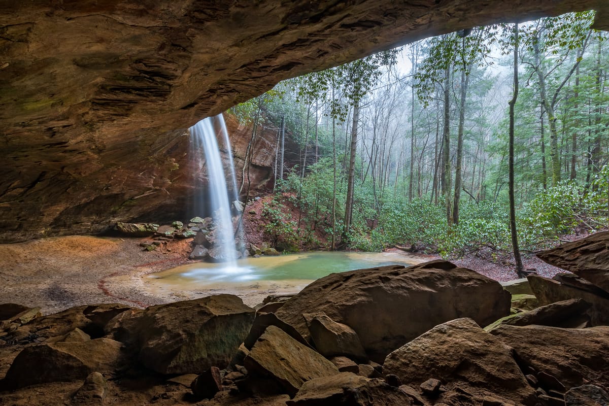
AllTrails is a community-driven project that promises to help users discover new hikes and provide them with an easy-to-use interface to allow for tracking hikes and navigating the backcountry with their phones. These features have meant that AllTrails has exploded in popularity over the years. Over time, I have seen the number of mentions of the app increase on the Facebook groups I help manage (Kentucky Waterfalls, Arches, and Landscapes).
While at first glance AllTrails seems to be a benign application that provides a great deal of value to users, there are several issues that my fellow admins and I have noticed over the years that have caused us to take a stance against the use of AllTrails in our groups.
In this post, I’ll explore the problems with AllTrails and discuss some of the available alternatives.
Problem #1: inaccurate information
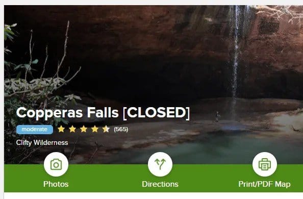
By far, one of the biggest issues with AllTrails is that all of the data they provide is crowd-sourced. While this provides the company the ability to build a massive database of hikes around the world, it also means that there’s bound to be loads of inaccurate information. Just performing a quick search for hikes in the Red River Gorge, I found a whole host of inaccuracies:
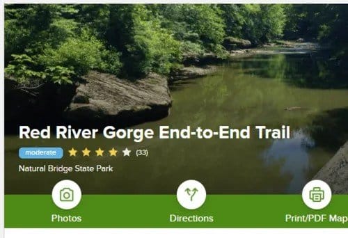
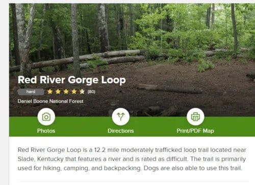
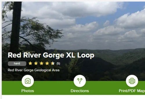
Consider the above screenshots of “trails” located in the Red River Gorge. Do you know what all of these have in common? They don’t exist!
All of these are loop hikes that utilize several existing trails, but the users who have submitted these hikes have assigned arbitrary names to the hikes, suggesting that these are trails maintained by the Forest Service.
Why is this a problem, you ask?
Consider a scenario in which something goes wrong on your hike and you need to rely on search and rescue crews to come help get you out of a jam. Suppose you manage to get enough cell signal to make a call to 911, or perhaps you did your due diligence and left a plan with a trusted individual who contacts emergency services on your behalf.
Regardless, the 911 dispatcher is told that you’re on the “Red River Gorge Loop Trail”. This trail doesn’t exist and is actually made up of at least half a dozen individual trails. To make matters worse, it refers to the “Hanson’s Point Trail”, which is a user trail, but we’ll get to that more in a bit.
So, here’s my question: Where should the rescue teams start looking for you? As someone who has volunteered with search and rescue in the Red River Gorge, I can tell you that this is going to make things a lot harder if we don’t have at least some idea of where you may have been. Now, these crews have to spend valuable time just trying to decipher where in the forest you might be.
Additionally, not knowing the actual trails you’re using is dangerous from a self-reliance standpoint. It’s a lot harder to successfully navigate a trail system when you’re looking for trails that don’t exist!
Problem #2: Unofficial trails
AllTrails doesn’t limit user submissions to the official, maintained trails. You’re free to record any old GPS track and throw it up for public access on AllTrails. The problem with this is that there is absolutely no distinction between a normal, official trail and an unofficial trail, which may be anything from a well-worn, easy-to-follow path to a complete off-trail bushwhack. This is simply dangerous and irresponsible for hikers who aren’t accustomed to this and who aren’t expecting to be off the official trail system.
This results in people venturing into areas that may be outside their skill level, having a false sense of security in thinking that they’re hiking on a trail. I’m again forced to consider an emergency scenario.
A great example of this is the Indian Staircase hike in the Red River Gorge. AllTrails marks this as a trail in both their descriptions and even on the map. In fact, they mark a whole network of trails in the area that do not exist.
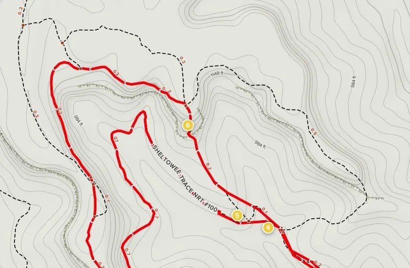
This area of The Gorge has become one of the hot spots for SAR calls. It’s an area that’s extremely easy to get lost in, especially if you’re expecting official, maintained, and marked trails, and requires a scramble that can be potentially dangerous or even deadly.
Problem #3: negative ecological impact on sensitive areas
Finally, I’d be remiss if I failed to mention the extremely negative impact AllTrails can have on sensitive, off-trail areas.
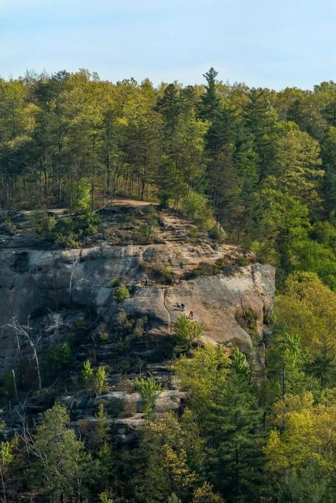
Something many people fail to take into account before they share a GPS track to some of these areas is the impact a huge influx of visitors will have on an area that hasn’t had a sustainable trail built for visitation. I have personally witnessed wonderful, pristine areas get destroyed from the irresponsible sharing of locations on AllTrails.
The big problem here is that the AllTrails app shows you the exact path someone took to reach a location. Not only does this largely ruin the adventure of figuring out how to reach a destination, but, more importantly, it makes it far too easy for people to find and visit these sensitive areas.
And before anyone starts shouting that this is me advocating “gate-keeping” or being an “elitist”, that is not the case at all. In fact, I support efforts to document these off-trail beauties (I.E., the Kentucky Waterfall Database and Kentucky Arch Database). The sad fact is that making these places too easy to visit, as is the case with AllTrails, results in their destruction. You can read more about this issue by checking out the Hikers for an 8th Leave No Trace Principle.
Alternatives
I realize that at this point I likely sound like a grumpy old curmudgeon who’s just opposed to modern advances in technology and who just wants to keep these dang kids out of my forest, but that’s not the case at all!
I am a huge proponent of utilizing technology to enhance my experience in the outdoors and to even make it a safer venture. So, with that being said, let’s consider some of the alternatives to AllTrails.
In my opinion, the best thing that AllTrails has going for it is that it allows you to download maps for offline use to assist you in navigating the backcountry and allows you to record GPS tracks of your adventures.
We live in a day and age where there isn’t an excuse for not having access to a GPS when in the backcountry. The thing is, AllTrails certainly isn’t the only app that allows you to do this. In fact, it’s not even the best app for backcountry navigation!
Gaia GPS
Gaia GPS is a full mapping and GPS application that gives you access to a whole host of map layers. It’s available for IOS and Android and even provides a web interface to allow you to plan out your routes and sync them with your other devices. It also allows for recording GPS tracks and waypoints.
I have used this application for years now, and I can personally vouch for its reliability. Additionally, this has become our primary source for GPS navigation on the Wolfe County Search and Rescue Team. If that’s not a solid endorsement, I don’t know what is!
Backcountry Navigator
Backcountry Navigator is similar to Gaia GPS, though it’s more limited in some ways. This is an application that I don’t have any personal experience with, but I know a number of people whom I trust who vouch for its reliability. The biggest downside of Backcountry Navigator is that, at this time, it’s Android only. They do appear to be working on a new version that will be a more direct competitor to Gaia, however.
Avenza Maps
Avenza Maps is another app that I haven’t personally tried, but it has been quite popular with the U.S. Forest Service and wildland firefighting crews. I’ve also heard many great things about it from people whom I highly trust in their outdoor skills.


Comments ()